

Realtime InSights with augmented reality!
FlyQ InSight is the new augmented reality aviation app for iPhone and iPad. Using just the camera in your device, it overlays live video with markers showing the position and distance of nearby airports. Never have trouble finding airports again, even in poor weather or night flying.

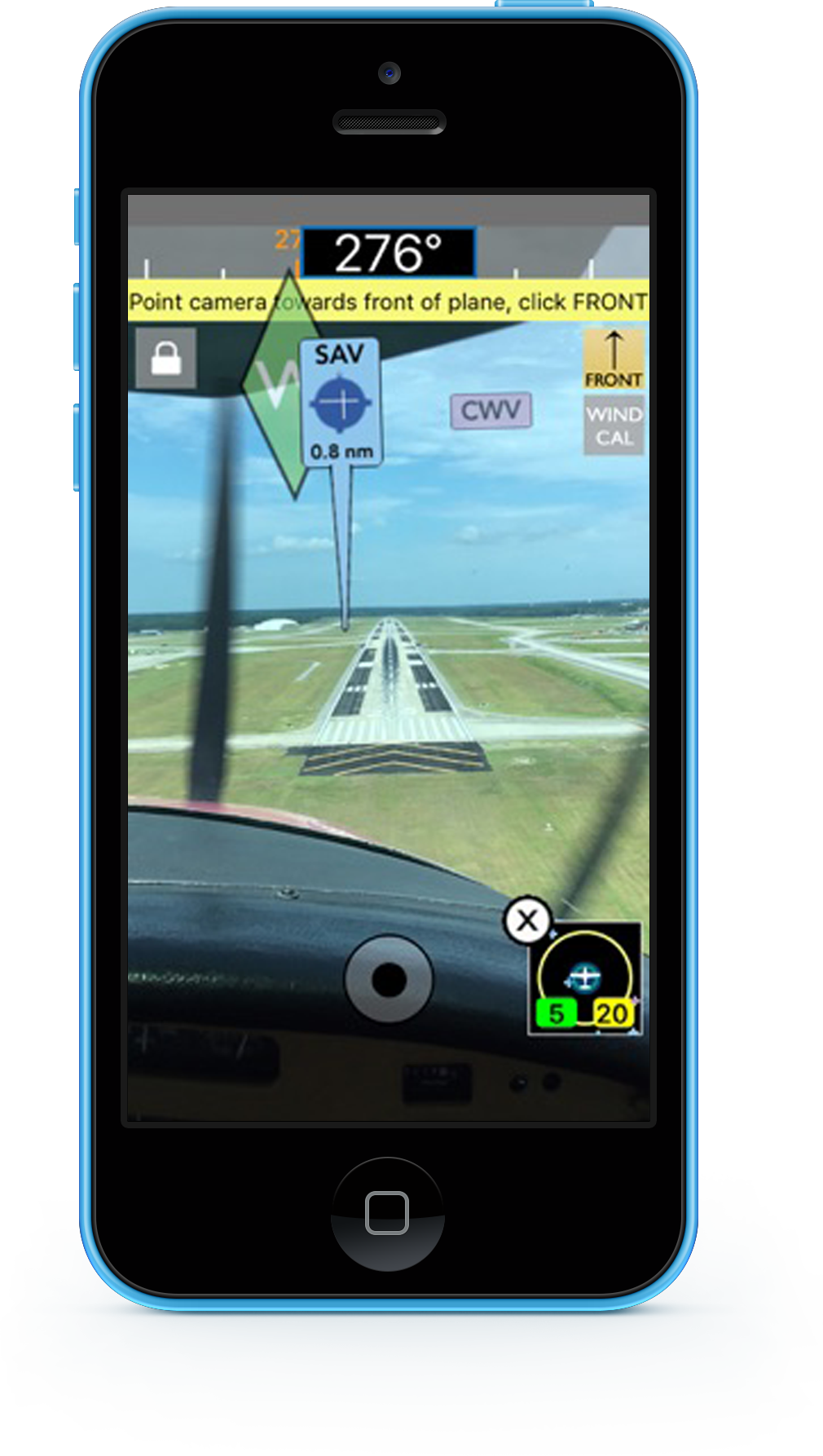
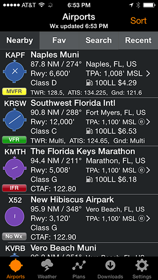
Within about 3 seconds it finds the nearest airports and displays succinct weather, fuel, and operational details about them — without even tapping a button.
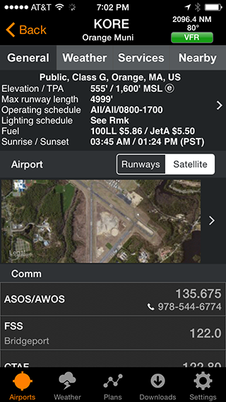
Want more info about an airport? Tap and all the details you need (but no excess clutter) appears instantly.
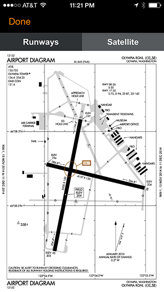
FlyQ InSight shows the detailed airport diagrams produced by the FAA. This applies to virtually all Class B, C, and D airports. Where the FAA does not produce a diagram, AOPA-provided runway diagrams are used.
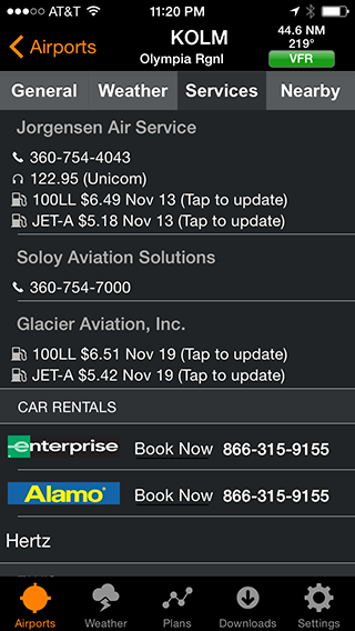
Version 2.2 displays up-to-date fuel prices for more than 2,500 airports. And if you find an ever newer price, a quick tap lets you update the system so other pilots know what you've found.
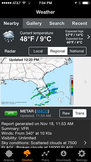
FlyQ InSight uses your device's GPS to lock-on to your location and get the current temperature and sky conditions, a Nexrad radar image of the area, the nearest METARs and TAFs, winds-aloft, and even an official Lockheed-Martin weather briefing.
One tap zooms the METARs, TAFS, and weather graphics to full-screen, large font versions that anyone can read -- even in turbulence.
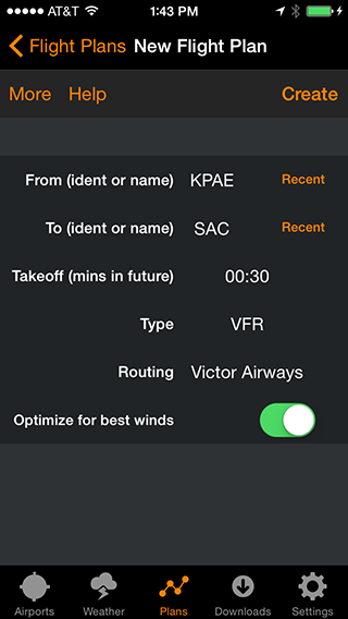
Tell FlyQ InSight where to depart, where to land, and how to fly there (Victor Airways, Jet Airways, or GPS Direct) and FlyQ InSight does the rest.
FlyQ InSight automatically requests an official Lockheed-Martin or DUATS weather briefing so you're good to go. And since filing the flight plan takes one tap and about 3 seconds, it's easy and quick to fly safely.
← Click & Drag/Swipe →
iPhone and iPad
The #1 rated aviation iPad EFB app - simple, full-featured, easy to read.


Windows
The quick and easy way to download ChartData for your Dynon, Aspen, Bendix-King, GRT, AFS, and more systems.